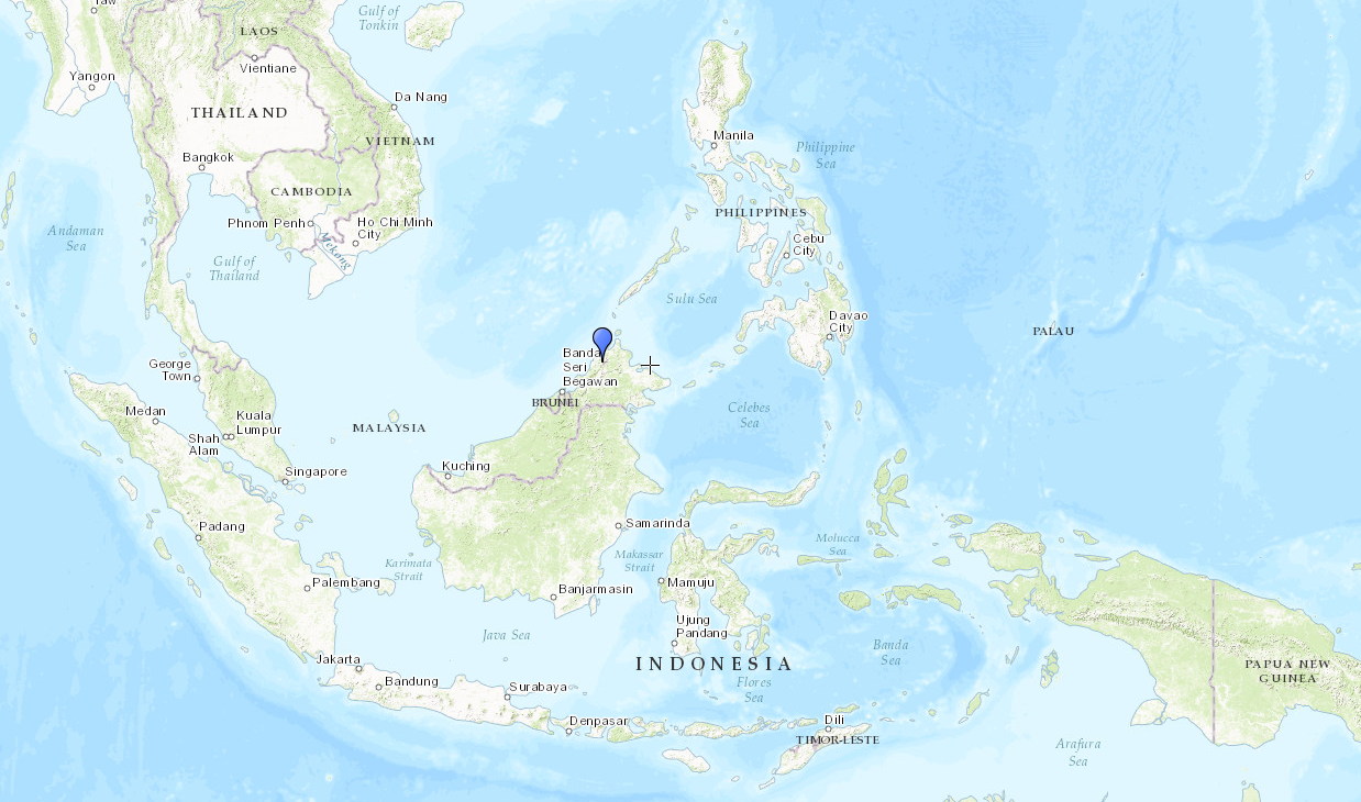
Mt Kinabalu is located in the east Malaysian state of Sabah, on the island of Borneo and with an altitude of 4095m (13,435 feet) it is one of the highest peaks in Maritime Southeast Asia.
Often cloaked in mists and clouds, the mountain emits an aura of mystery and adventure that has captured the minds of locals and explorers alike. Fittingly, the origins of the name "Kinabalu" are a bit of a mystery themselves and there are many folklores and fables that tell how the mountain got it's name.
The most popular view suggests that it derives from the Kadazan words "Aki Nabalu" which translates to "the revered place of the dead". The local Kadazan people today still believe that spirits dwell on the mountain.
♫ Sayang Kinabalu
It is very likely that the first ascent was done by local climbers, but as there are no records of that time period the first ascent officially goes to Sir Hugh Low, a British colonial officer who reached the summit plateau in 1851.
Technically he didn't climb the mountain's highest peak at 4095m (which incidentally is named after him) considering it "inaccessible to any but winged animals".
On the darker side of tourism
Once we decided to go to Malaysian Borneo, it soon became apparent that climbing the Mount was something we had to do. Some initial research however would soon had us face some discouraging facts of modern day tourism: climbing the mountain would be not be cheap.
We were planning to do the climb in 2 days / 1 night and although there are multiple huts on the mountain, they are all owned by the same company, which makes them a monopoly that cannot be bypassed by anyone who wants to climb to the top. Unless of course you plan to climb up and down in one day, which is not impossible (I believe the currently held record is 2 hours and 44 minutes - just saying).
Altogether, if you include transport, tips and food, you are probably looking at around 400-500$US per person, which is quite a substantial amount if you're traveling on a budget (and although Kinabalu is a very imposing mountain, it is neither the Kilimanjaro nor the Himalayas).
The climb
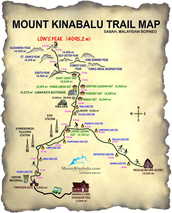
On the day of our climb we were picked up from Kota Kinabalu at 8am (sea level). The drive to the national park took approximately 40min, where we started our climb from the Timpohon Gate at 1866m altitude.
We took the Timpohon route, which is the shorter but steeper option, our goal being the Lagadan hut at 3323m where we would spend the night. As we slept at sea level the night before, I was a bit concerned about altitude sickness, which luckily proved to be unnecessary. The weather forecast was rather bad, but we were told that the weather on the mountain is unpredictable anyway, as it is so close to the shore.
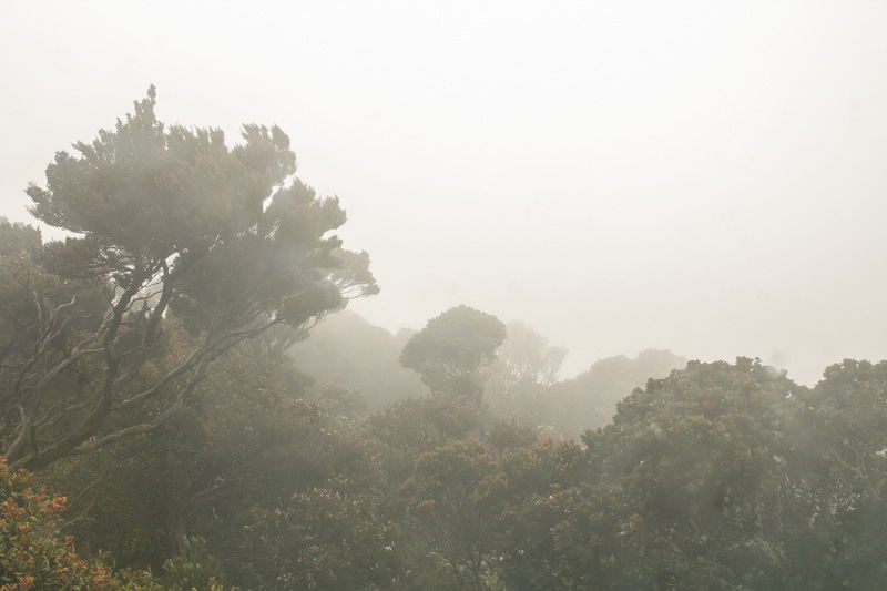
The moment we stepped out of the car we could feel a difference in the climate. While the coast was at cosy 30+ degrees, up here the air felt cool and chilly although we were wearing jumpers. The mountain itself was hidden behind a smoke screen of could and mist, so there was no telling what lay before us.
The track started quite steep and kept climbing at a steady pace. Luckily our bags were rather light as we only packed lunch and some additional clothing layers for the top, and all in all the going was easier than expected.
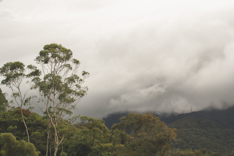
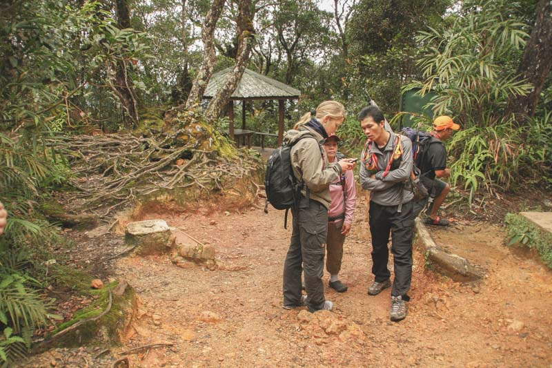
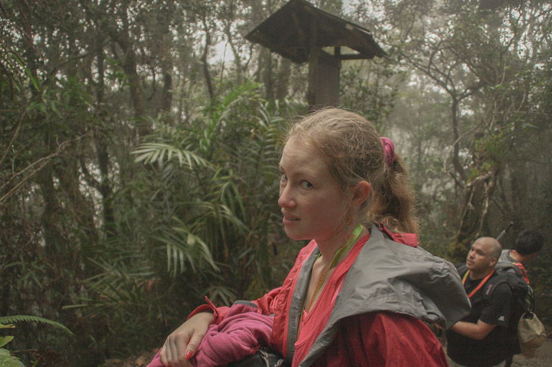
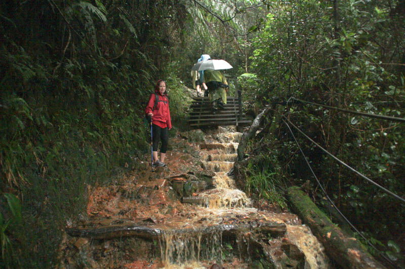
The rain came 2 hours after we started. It was a drizzle at first, which soon turned into solid rain. Gradually that initial rain turned into a torrential downpour with gusts of wind strong enough to blow trees over. Later we would find out the mountain was hit by a typhoon while we were climbing.
We did anticipate rain, and we were equipped with good soft shell rain jackets and rain ponchos, but there is no equipment out there that would have kept us dry in a mayhem like that. What made the situation worse is that the few shelters that are scattered along the track are completely open to the sides, which made them all but useless.
Gradually, the track turned from a steep path into an icy waterfall that at times would reach over our knees. We were still hours away from salvation, and the going was rough, to put it mildly.
A lot of people were caught completely off guard. We passed an older gentleman in sandals and shorts, shaking violently while a group was hugging him in an attempt to slow down hypothermia. I was starting to feel first signs of hypothermia myself. I thought about putting on some additional layers, but I was feeling relatively fine as long as I kept moving, so I decided against it, hoping that my thermal underwear and my fleece will stay dry for the next day, safely tucked away in my bag.
Nikki was not happy. She was crying and sobbing while sucking on her fingers in an attempt to keep them warm. Seeing her like that made me feel quite guilty, this climb was my idea after all. We haven't been together in a situation like this before, and I wasn't sure how she would react. Stopping was absolutely not an option in those weather conditions and I was afraid she might have a breakdown. But she never stopped, I was quite impressed.
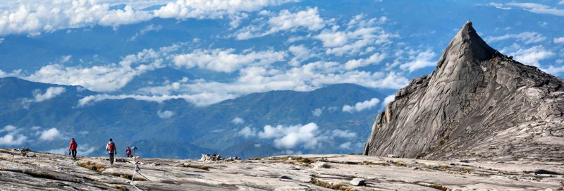
The summit of Mt Kinabalu in good weather, something we didn't get to see. Photo courtesy of mountkinabalu.com
We arrived at the Laban Rata hut around 3pm, not a minute too soon (this was not our hut, but we would find that out later). Nikki passed straight trough the door, walked to the nearest table and had a short cry on the floor.
It took my body a couple of seconds to realize that I wasn't being pummeled by the weather anymore, then I had a look around. And what a sight that was. All around us people were sitting wrapped up in thick blankets. A middle aged man was running around in his underwear, doing squats while trying to stop the shaking. A girl was asking apathetically if anyone had some dry clothes to spare. Some people were crying - not exactly scenes you would expect on a tropical island.
I joined Nikki at the table and sat down, exhausted. Then I started shaking myself. She got up to get me some hot water, but my hands were shaking so badly that I spilled every single drop before I could bring it to my mouth.
Our hut was approximately 100m further up the mountain, and just the thought of getting out there again was harrowing. Once we reached the hut we took off all of our clothes and crawled into the sleeping bags, as there was no heating, fire or hot water. We were supposed to get up at 3-4am on the next morning to go for the summit, but Nikki decided against it, which I could understand very well.
My plan was to get up and decide then and there. If the weather conditions were too dangerous, the gate to the summit would be closed anyway. Hopefully.
To the summit!
I got up at 3:40am after a short and uncomfortable night. Tired and a bit confused, I went to the lounge where I found some other ghostly figures that probably looked just as out of place as I did. Outside it was still pitch black and the wind was howling savagely. I examined my clothes that were hanging nearby. They were as cold and wet as on the previous day and I started asking myself what I was doing there.
Around 4:30am the guides reluctantly announced that they were going to open the gates, but they would not be able guarantee our safety and should the weather take a turn for the worse we had to get down straight away.
I put on every single piece of gear I had, turned my head torch on and prepared myself for another beating. Outside the situation wasn't as bad as it seemed while we were in the hut. Although it was still raining and there was quite a bit of wind, it was nowhere near the disastrous proportions of the previous day.
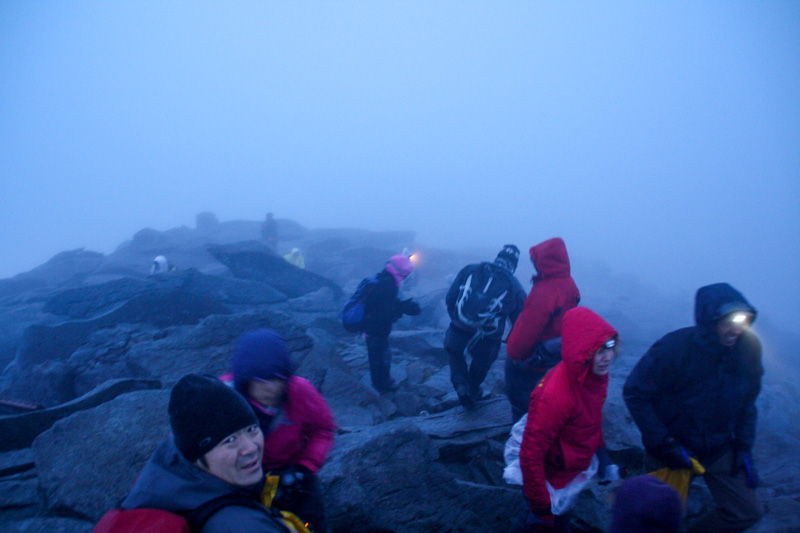
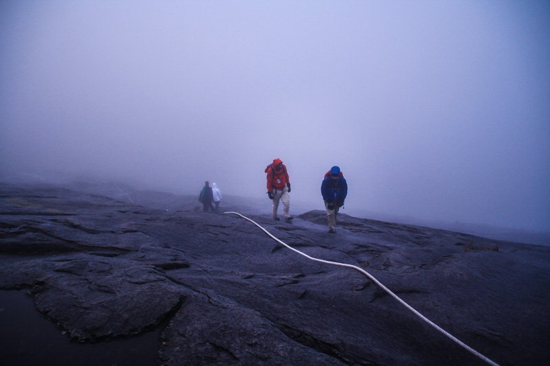
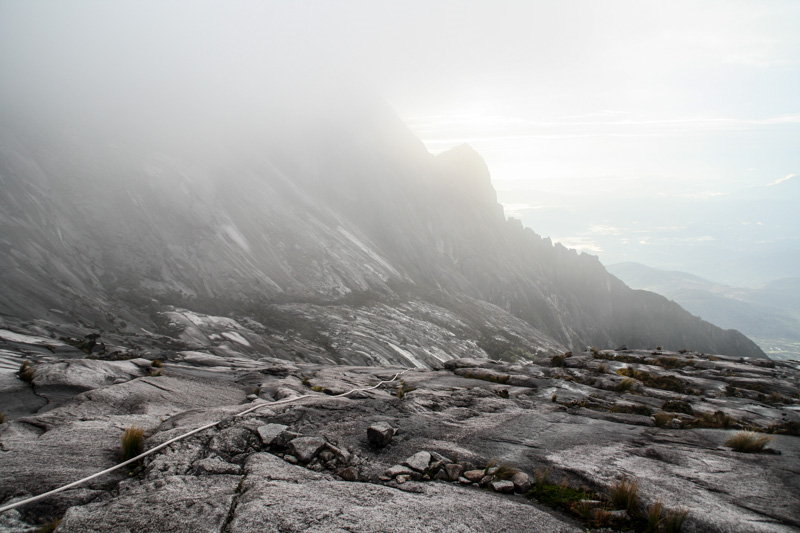
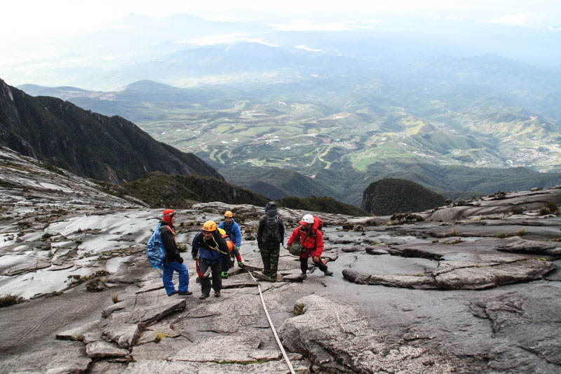
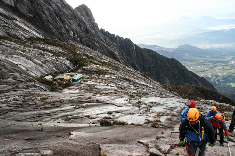
Physically the climb wasn't too hard, although one could definitely feel the higher altitude. It followed multiple sets of steep stairs which would later be replaced by a barren granite slab, with a couple of almost vertical rock walls in between. A thick white rope was layed out from the start of the rock wall and followed up the track all the way to the top, serving as a hand hold and guide.
After a while the rain stopped and was replaced by a thick fog that reduced the visibility to only a couple of meters. Together with the lack of oxygen and the first light of the breaking dawn, the surroundings soon turned into an unreal and eerie place.
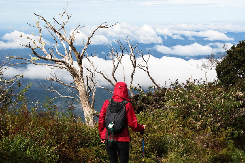
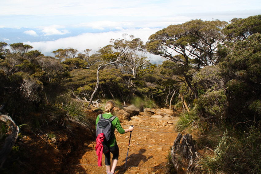
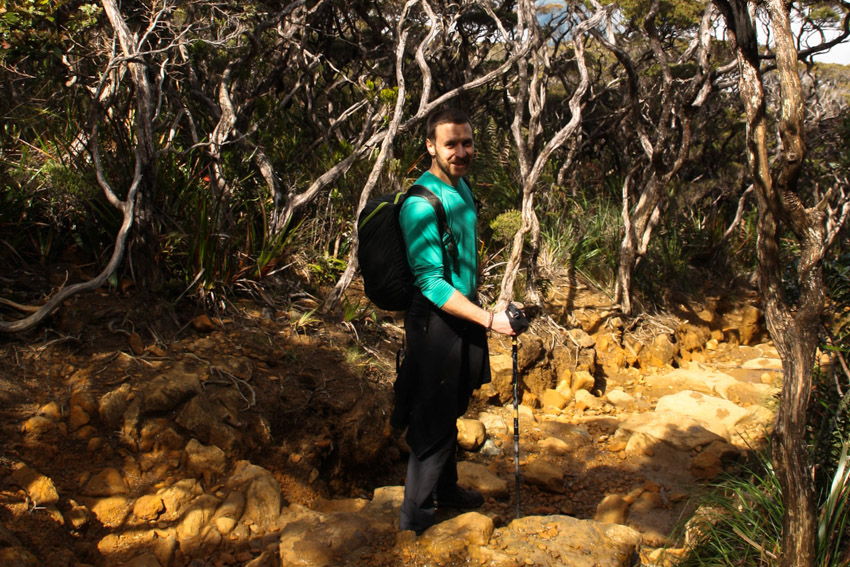
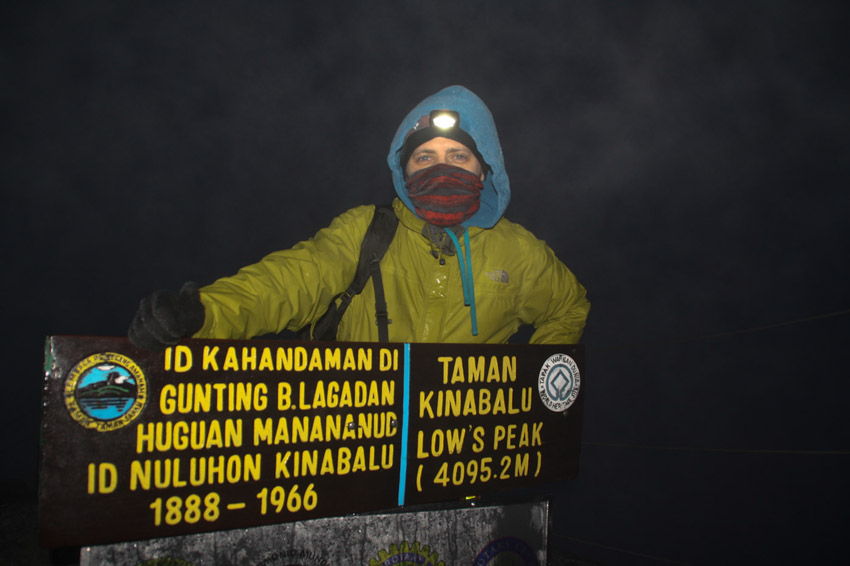
The summit was quite anticlimactic. Crowded, cold and completely engulfed in fog, the only thing indicating that we were on Borneo's highest mountain was the signpost reading "Low's Peak - 4095.2m". I took the obligatory photo and headed back down. The sun was starting to rise and seemed to burn some holes through the fog, finally opening the view to the valley bellow.
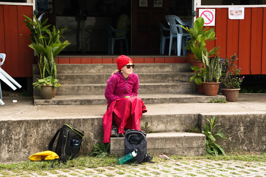
Back at the hut I met up with Nikki. She still wasn't her usual happy self and just wanted to get off the mountain. And so we did, some 4-5 hours later.
So was it worth it? Retrospectively, yes. But let's just end with a quote:
"An adventure is never an adventure when it's happening. Challenging experiences need time to ferment, and an adventure is simply physical and emotional discomfort recollected in tranquility" - Tim Cahill