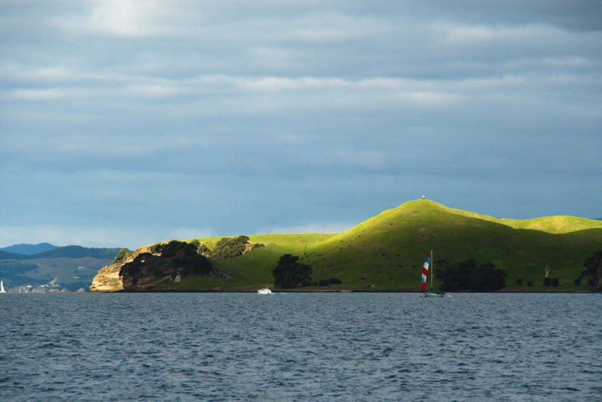

Rangitoto's name is derived from the phrase "Te Rangi i totongia a Tamatekapua" - the day the blood of Tamatekapua was shed. Tamatekapua was chief of the Arawa canoe which arrived about 1350 and was engaged in (and lost) a major battle with the Tainui at Islington Bay.
The week pasted slowly and we were looking forward to going on a day trip together. We woke up Saturday morning and I packed a massive lunch including French bread sandwiches, chocolate, drinks and chips. B began to pack our bags and hurry me along so we didn’t miss our ferry.
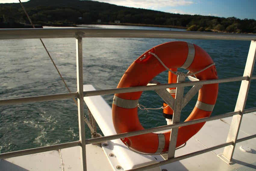
In town we parked the car and ended up running to the ferry terminal. Why did we run? Because I made us late … whoops sorry B! The ferry tickets cost us $29 return. We boarded the ferry from the Downtown Auckland Ferry Terminal and enjoyed a 25 minute cruise across the Waitemata Harbour to Rangitoto Island. On the ferry we read that Rangitoto was a pest free island and had a variety of protected native wildlife.
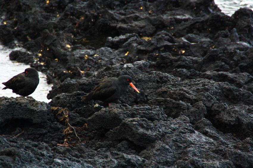
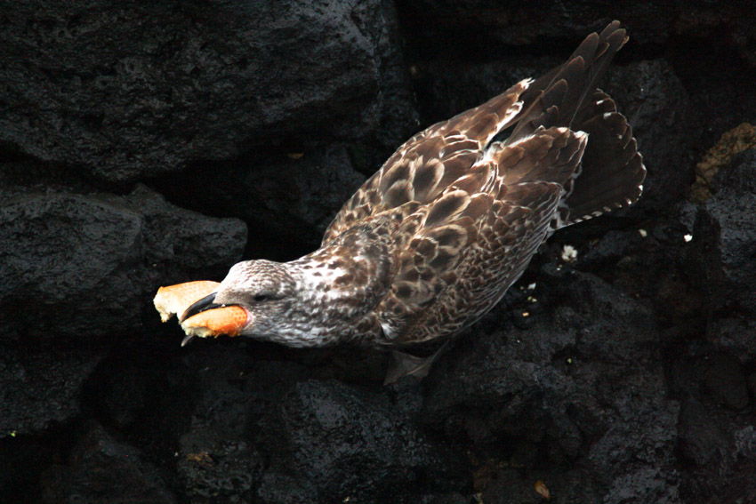
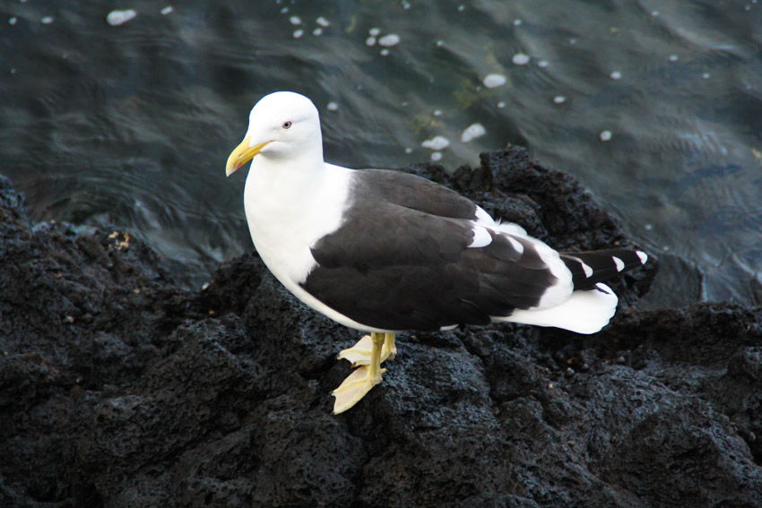
Rangitoto and neighbouring Motutapu Islands were officially declared pest-free with both islands now also boasting populations of newly translocated saddlebacks.
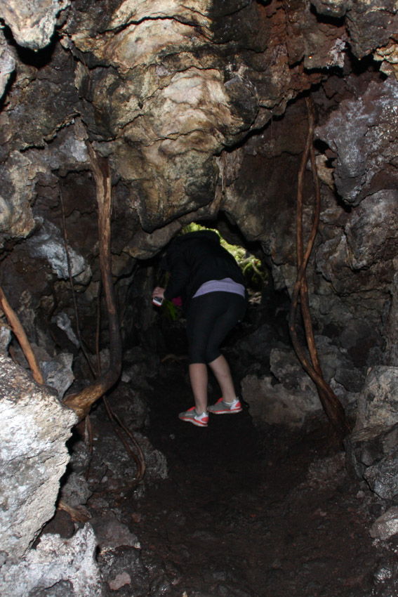
Lava tubes are formed when low-viscosity molten lava known as pahoehoe flows and cools on the outside due to contact with the ground and air, to form a hard crust allowing the still-liquid molten lava to continue to flow through inside. At Rangitoto the large tubes are cave-like. A torch is needed to explore the caves. The longest known cave is about 50 m long.
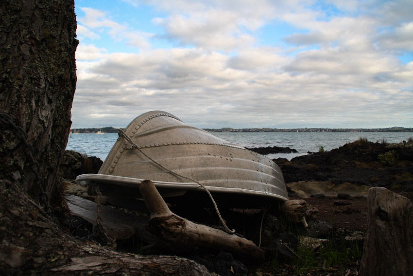
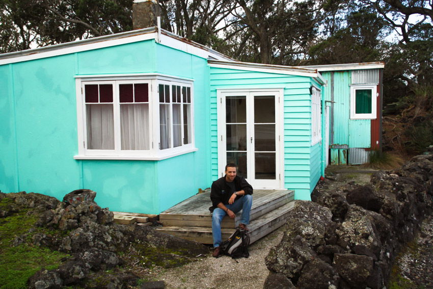
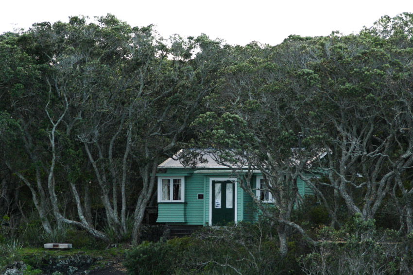
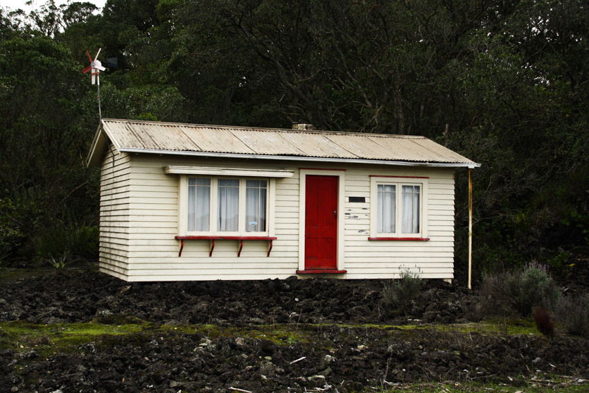
Baches (small holiday houses) were built around the island's edge in the 1920s and 1930s. The legality of their existence was doubtful from the start and the building of further baches was banned in 1937. Most have since been removed because of the ban and because the island has become a scenic reserve. However some 30 of the 140 baches remain as of 2010,[13] and some are being preserved to show how the island used to be, once boasting a permanent community of several hundred people, including a good number of children.
